Ancient History and Colonial Rule
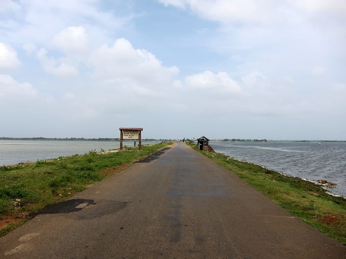
Pachchilaipalli lies within the historically Tamil-speaking Vanni region of northern Sri Lanka, with settlements dating back centuries. The area includes Elephant Pass — the narrow causeway connecting the Jaffna Peninsula to the mainland — which made it strategically important throughout every period of colonial rule.
During Portuguese rule in the 16th and 17th centuries, a fort was built at Elephant Pass, and schools and churches were established in the Puloppalai area. The Dutch later rebuilt the fort in 1776 and held annual elephant sales there. Elephants from the Vanni were driven through the narrow pass to Jaffna for export, giving Elephant Pass its name.
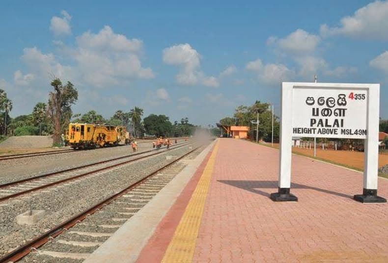
Under British rule, the Church Mission Society sent Rev. John Backus to Pallai in 1861. This eventually led to the establishment of St. Andrew’s Church, which was dedicated on 30 November 1895.